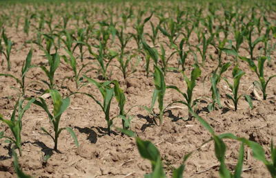
Drought conditions across the Midwest and High Plains showed a mixed pattern this week, with severe weather bringing relief to some areas while extreme dryness expanded in others, according to the latest U.S. Drought Monitor report. The report is jointly produced by the National Drought Mitigation Center at the University of Nebraska-Lincoln, the U.S. Department of Agriculture, the National Oceanic and Atmospheric Administration and NASA.
Heavy rainfall provides targeted relief
The most significant development occurred across southern Iowa, northern Missouri and west-central Illinois, where storm systems delivered 2.5 to 5.5 inches of rainfall. Some areas in south-central Iowa and north-central Missouri received more than 6.25 inches, creating positive departures of 1.5 to over 4.5 inches above normal for the week.
This concentrated deluge brought improvements to drought conditions ranging from moderate to exceptional levels in Nebraska and Kansas. The heavy rainfall also reduced exceptional drought in southern Wyoming and northern Colorado.
“The wet weather pattern resulted in substantial positive departures,” the report noted, highlighting how localized storm activity can dramatically alter drought conditions in affected areas.
Dry conditions persist across northern regions
While southern areas benefited from heavy rains, northern portions of the Midwest experienced remarkably dry conditions. Northern Minnesota, northern Wisconsin, Michigan’s Upper Peninsula, eastern Indiana and much of Ohio received less than 0.5 inches of rain during the week.
Kentucky saw particularly severe dryness, with much of the state recording less than 0.1 inches of precipitation. These conditions created widespread precipitation deficits of 0.75 to 1.5 inches below normal across the affected areas.
Temperature extremes mark the week
Unseasonable warmth dominated much of the region, with temperatures ranging from the upper 40s along the Canadian border to the 70s in southwestern Missouri. The core of the heat anomaly centered over western Iowa and northwest Missouri, where temperatures soared 6 to 10 degrees above historical averages.
Kansas and Colorado experienced the most extreme warmth, with weekly temperatures climbing 6 to 12 degrees above normal. Some areas in southern Kansas peaked more than 12 degrees above typical readings for this time of year.
High Plains see expanding drought
Conditions deteriorated across large portions of the High Plains, where extreme dryness dominated most areas outside the southeastern boundary. Wyoming, Colorado and western parts of North Dakota, South Dakota, Nebraska and Kansas reported weekly precipitation totals below 0.5 inches.
Extensive areas received less than 0.1 inches of moisture, resulting in departures of 0.5 to 1.5 inches below average. This lack of rainfall led to the expansion of extreme drought in southwestern Kansas and southern Colorado, while severe drought expanded in parts of Colorado and northeast Wyoming.
Moderate drought conditions also expanded across portions of South Dakota as the dry pattern continued.
Severe weather brings contrasts
The week featured a powerful frontal system that triggered widespread severe weather across the Great Plains and Midwest between May 17 and 18. The system produced damaging winds up to 80 mph, large hail and multiple tornadoes across South Dakota, Nebraska, Iowa, Kansas and Missouri.
While the storms brought beneficial rainfall to some drought-stricken areas, they also created localized flash flooding concerns in regions that received the heaviest precipitation totals.
Looking ahead, forecasters expect continued dynamic weather patterns with the potential for additional severe thunderstorms and heavy rainfall across portions of the affected region.