The latest U.S. Drought Monitor shows a patchwork of improvements and setbacks across the contiguous United States, reflecting a highly variable precipitation pattern over the past month. While some regions received heavy rains, others remain dry, leading to shifts in drought severity and coverage. The U.S. Drought Monitor is jointly produced by the National Drought Mitigation Center at the University of Nebraska-Lincoln, the United States Department of Agriculture and the National Oceanic and Atmospheric Administration.
Heavy precipitation totaling 4 to over 8 inches fell in parts of New England, the Ohio Valley, eastern South Carolina and Florida, the Rockies, and the Pacific Northwest. In contrast, the desert Southwest, central and southern Plains, northern Great Plains, and parts of the Southeast and Mid-Atlantic saw less than an inch of rain, worsening drought conditions in many areas.
Overall, 72 percent of the Lower 48 states are experiencing abnormally dry or worse conditions, a slight decrease from 74 percent last week. Severe drought or worse affects about 21 percent of the country, down from 23 percent.
Northeast and Southeast see contrasting trends
The Northeast saw a slight decline in dryness coverage but an increase in severe drought areas, particularly in northern Maine and parts of New York and Maryland. Meanwhile, the Southeast experienced significant deterioration, with drought coverage rising from 81 to 85 percent. Severe drought expanded notably in Alabama, Georgia, and the Florida Panhandle.
Improvements in the Midwest and West
Moderate to heavy rains helped ease drought in the Midwest, reducing severe drought coverage from 14.5 to under 10 percent. The West also benefited from unusual early-season rain and snow, especially in California and the Great Basin, cutting drought coverage from 80 to 74 percent.
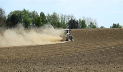
Dryness persists in the South and High Plains
Despite some rain in Tennessee and Mississippi, dryness worsened in Texas, Oklahoma, and Louisiana. The High Plains saw mixed precipitation, with improvements in western areas but deterioration in parts of eastern Nebraska and southeastern South Dakota.
Outlook calls for heavy rain in Pacific Northwest and southern Plains
The next week’s forecast predicts heavy precipitation in the Pacific Northwest and from the southern Great Plains through the Lower Mississippi and Ohio Valleys, with up to 10 inches in some higher elevations. Temperatures are expected to be below normal in the West and Atlantic Seaboard, while warmer-than-average conditions will prevail in the northern Plains and Southwest.
These shifting drought patterns underscore the ongoing challenges for water management and agriculture as the U.S. moves deeper into the fall season.