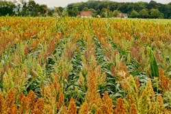
The Midwest and central Plains experienced a mix of drought improvements and expansions last week as rainfall eased dryness in some areas but dry conditions persisted or worsened in others. The latest U.S. Drought Monitor report shows notable rainfall across parts of Missouri, Illinois and Wisconsin, while drought intensified in northern Minnesota and eastern Kentucky. The report is jointly produced by the National Drought Mitigation Center at the University of Nebraska-Lincoln, the U.S. Department of Agriculture, the National Oceanic and Atmospheric Administration and NASA.
Rainfall eases drought in parts of Midwest
Heavy rain over the past week brought relief to northeastern Missouri, northern Illinois, and central Wisconsin. Northern Missouri recorded 5 to 10 inches of rain, eliminating abnormal dryness in the northeast part of the state. Northern Illinois and central Wisconsin received 2 to 4 inches or more, leading to widespread drought improvement.
Ohio and Indiana are now free of drought or abnormal dryness, and most of Michigan is also clear except for the far western Upper Peninsula. Southeastern Iowa saw 2 to 5 inches of rainfall, helping reduce dryness.
Kentucky’s northern and western regions benefited from 1 to 4 inches of rain, reducing moderate to severe drought there. However, eastern Kentucky did not see similar relief. A new area of extreme drought was introduced in eastern Kentucky due to low streamflow and water supply concerns in the Kentucky River and Big Sandy watersheds.
Drought expands in northern Minnesota and Iowa
Northern Minnesota experienced an expansion of severe drought north-northeast toward the Canadian border. The region continues to face persistent rainfall deficits, contributing to worsening drought conditions.
Northern and western Iowa also remain dry despite rainfall in southern and eastern parts of the state. A new moderate drought area was added in north-central Iowa just south of the Minnesota border due to a lack of rainfall last week.
Central Plains face worsening drought
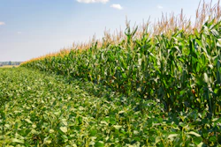
The central Plains saw drought persist and worsen in parts of western Kansas and eastern Colorado. Exceptional drought expanded in the Nebraska panhandle, where dryland wheat and pasture conditions are the poorest seen in decades. This is linked to a record warm, dry winter followed by limited spring rainfall.
Western North Dakota also saw drought expand, with moderate drought moving southward along the Montana border. Abnormal dryness was introduced in parts of North Dakota due to recent dry conditions.
Central and eastern Nebraska saw some improvement thanks to 2 to 4 inches of rain along the Interstate 80 corridor and southeastern Nebraska, areas now free of drought or abnormal dryness.
Outlook for the region
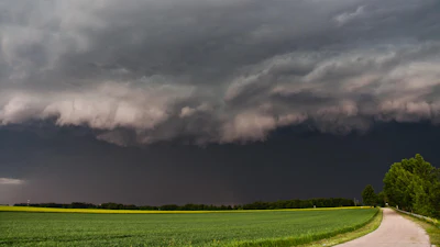
Forecasts call for continued rainfall in parts of the Midwest and central Plains over the next week. The Weather Prediction Center expects several inches of rain from Oklahoma, Missouri, and Arkansas eastward into the Ohio River Valley, which may provide further drought relief. Severe weather is also possible in the Midwest.
Temperatures are expected to be below normal in the eastern High Plains and Midwest, while precipitation is forecast to be above normal across much of the Midwest and High Plains.
The mixed conditions reflect ongoing challenges for water resources and agriculture in the region as some areas recover while others face worsening dryness.