Drought conditions worsened across the Northeast and parts of the Midwest last week, while a flash drought expanded in the mid-South, according to the latest U.S. Drought Monitor report. The U.S. Drought Monitor is produced through a partnership between the National Drought Mitigation Center at the University of Nebraska-Lincoln, the United States Department of Agriculture and the National Oceanic and Atmospheric Administration.
Northern New England and northern New York saw moderate to severe drought intensify, with all six New England states reporting at least 55% of topsoil moisture rated very short to short in agricultural areas. Abnormal dryness also expanded across West Virginia and surrounding areas.
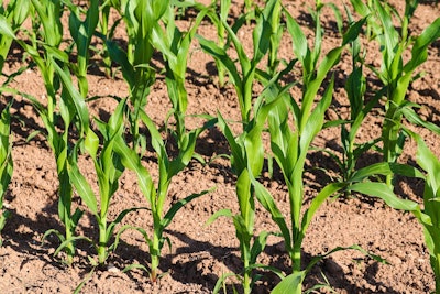
Flash-drought conditions across the mid-South contrasted with the arrival of heavy rain in Oklahoma and neighboring areas,. Arkansas faced particularly challenging conditions with 92% of topsoil moisture rated very short to short, followed by Tennessee at 63% and Mississippi at 53%.
In the Midwest, drier-than-normal weather in the southern and eastern Corn Belt led to increased drought coverage from Missouri into the Ohio Valley and lower Great Lakes region. Kentucky reported 66% of topsoil moisture as very short to short, while Michigan and Ohio reported 55% and 51%, respectively.
The West continued to experience hot weather before gradually yielding to increased shower activity late in the monitoring period. Washington state reported some of the worst agricultural conditions nationally, with 47% of rangeland and pastures rated very poor to poor. The state also led the nation with 57% of its barley and 53% of spring wheat rated very poor to poor.
In contrast, the Southeast saw improving conditions due to showery weather, with some of the heaviest rainfall occurring from Florida's Gulf Coast northward to coastal South Carolina. Downtown Charleston received 8.05 inches of rain on August 22-23.
Hurricane Erin passed about 200 miles east of North Carolina's Outer Banks with minimal weather impacts beyond gusty winds and coastal effects such as dangerous surf and higher-than-normal tides.
Looking ahead, cool weather will persist across much of the country through the end of August, though heat will gradually return to the West. Heavy rainfall is expected from the mid-South to the southern Atlantic Coast, while little to no rain is forecast from the middle Mississippi Valley into the middle Atlantic States.