Drought conditions continued to improve across the Midwest, Plains and parts of the Southwest, while the Pacific Northwest saw worsening conditions, according to the U.S. Drought Monitor report released Thursday.
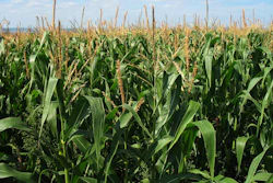
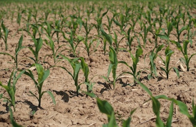
The most significant rainfall accumulations were observed across Kansas, Missouri, Iowa and Minnesota, where precipitation ranged from 3 to 7+ inches during the past week. These rains contributed to continued improvement in drought-affected areas from Minnesota to Ohio.
“Despite recent rainfall events and overall improving conditions across areas of the region, negative soil moisture anomalies are continuing to show up in northern Illinois, northeastern Indiana, and southern Michigan,” the report noted.
In the South, western Texas and eastern New Mexico saw drought conditions improve as monsoonal storms provided some relief to areas experiencing long-term drought.
However, short-term precipitation shortfalls led to expansion of abnormally dry areas across the Southeast, including the Carolinas, Georgia and Alabama. Isolated areas of moderate drought were introduced in Alabama, Georgia and South Carolina, where agricultural impacts are being reported.
Conditions deteriorated significantly across the Pacific Northwest and Intermountain West, including Oregon, Washington, Idaho, Wyoming, Utah and Colorado. Streamflow activity continues to be well below normal levels across these regions.
California’s major reservoirs remain at or above historical averages, with Lake Shasta at 105% and Lake Oroville at 116% of average. However, the Colorado River system is struggling, with Lake Powell at 32% full and Lake Mead at 31% full.
Looking ahead, the forecast calls for generally dry conditions across much of the western U.S., with light-to-moderate precipitation expected across the Plains, Midwest, Mid-Atlantic, South and portions of the Southeast over the next week.