Widespread precipitation in late May eased drought conditions across the U.S. Northeast and the Central and Southern Great Plains, but short-term drought developed or expanded in parts of the Midwest and Pacific Northwest, the latest U.S. Drought Monitor report ending May 26 shows. Below-normal temperatures accompanied rainfall in the Northeast, Corn Belt and Northern to Central Great Plains, aiding soil moisture recharge.
Key regional drought developments include:
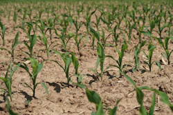
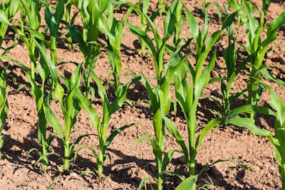
- Midwest: While a low-pressure system brought 1 to 2 inches of rain to Minnesota and Wisconsin, leading to improvements, areas in western to southern Iowa, northern Illinois, northern Indiana, and southwestern Michigan saw lower amounts. This resulted in an expansion of moderate drought (D1) and abnormal dryness (D0) due to increasing 30-day precipitation deficits and declining soil moisture. Northern Missouri also saw an increase in D0 coverage.
- High Plains: Widespread precipitation (1 to 3 inches) from May 24-26 led to 1-category improvements in southwestern South Dakota, Nebraska, Kansas, and northeastern Colorado. Cooler temperatures helped topsoil moisture. Severe (D2) to extreme (D3) drought was reduced in central to western Nebraska and adjacent South Dakota. However, southern Nebraska and northern Kansas missed significant rainfall, leading to minor degradations.
- South: Heavy rainfall (2 inches or more) improved drought conditions in south-central and southeastern Texas. Despite recent rains, long-term hydrological impacts persist with record low well levels in Bexar and Medina Counties. Most of Oklahoma and northern to eastern Texas are now drought-free. The Lower Mississippi Valley and Tennessee Valley also remain drought-free.
- Northeast: Continued precipitation improved drought conditions, with eastern Massachusetts and Rhode Island seeing significant relief. However, long-term drought signals, particularly low groundwater, mean abnormal dryness and moderate drought persist in areas like southeastern Pennsylvania, Maryland, and northern West Virginia.
- Southeast: A wet pattern reduced abnormal dryness and moderate drought in parts of eastern Georgia, the Carolinas, and Virginia. Florida’s rainy season began, bringing relief to east-central areas, but west-central Florida saw degradation. Extreme drought (D3) continues in southwestern Florida.
- West: Moderate drought (D1) expanded in southwestern Washington and was introduced in parts of Oregon due to precipitation deficits and low streamflows. Severe drought (D2) expanded in southwestern Utah. Montana saw mixed changes.
Alaska and Puerto Rico are reported as largely drought-free. Hawaii continues to experience drought of varying intensity, with extreme drought (D3) on parts of the Big Island.
Looking Ahead The Weather Prediction Center forecasts a continued wet pattern along the East Coast through June 2, with 1 to 2 inches of rain expected from the Mid-Atlantic to New England. Much-needed precipitation is also anticipated for the Florida Peninsula. Mostly dry weather is forecast across the Midwest from May 29 to June 2. A low-pressure system is expected to bring more rain to the Northern and Central High Plains by June 2. California and the Great Basin are predicted to experience much above-normal temperatures and potential record heat to end May.
The Climate Prediction Center’s 6-10 day outlook (June 3-7, 2025) favors:
- Above-normal precipitation for the Florida Peninsula, Middle to Upper Mississippi Valley, Great Plains, and much of the West.
- Below-normal precipitation probabilities across the Mid-Atlantic and Northeast.
- Above-normal temperatures from the Mississippi Valley to the East Coast.
- Below-normal temperatures for the West and Alaska.
The U.S. Drought Monitor is produced jointly by the National Drought Mitigation Center at the University of Nebraska-Lincoln, the United States Department of Agriculture and the National Oceanic and Atmospheric Administration.