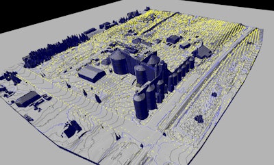
Topographical mapping documents site features such as buildings, structures, above-ground utilities, terrain and landforms into a 3D digital map.
Courtesy of ScanStar LLC
When it comes to the construction or modification of a grain processing or animal feed mill operation, technology is revolutionizing the way we engineer and plan these projects.
Laser measuring and topographical mapping offer a precise method to collect information to record and measure existing facilities, essentially creating a digital twin.
Log in to view the full article
Subscribe to Magazine